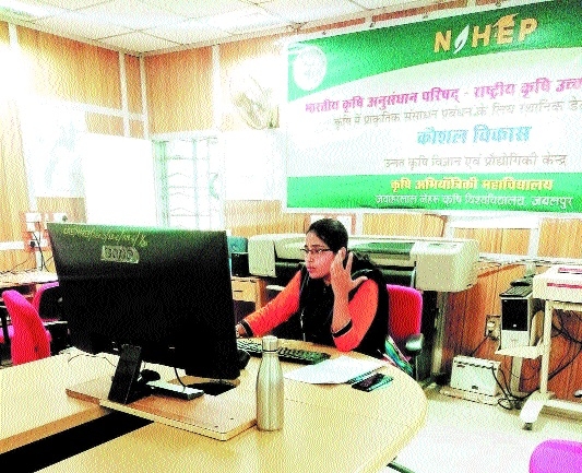
21-day practical training session on Remote Sensing and GIS concludes
| Date :01-Dec-2021 |

Staff Reporter :
The online 21-day practical and experimental training on Remote Sensing and GIS held at Agriculture Engineering College located at Jawaharlal Nehru Agriculture University by National Agriculture Higher Education Project (NAHEP) concluded on Tuesday. The training programme was organised for the scientists, professors and students associated with agriculture universities in different States including Acharya N G Ranga, Anand, Mahatma Phule, Parbhani, Navsari, Indian Council of Agricultural Research and Banaras Hindu University. The programme was a grand success under the direction of Chief invigilator, Dr R K Nema, Principal Scientist, Dr Manoj Kumar Awasthi and supervision of Dr S K Sharma.
The participants were enriched with the basic knowledge of Remote Sensing and GIS and it’s use in different sectors of agriculture including evaluation of ground water efficiency, spot selection for developing water storage infrastructure, evaluation of soil erosion and others. Simultaneously, the experts also informed about the working system of QGIS software. The expert team comprised of Scientist Dr Suresh Kumar from Indian Institute of Remote Sensing, Dehradun, Dr N R Patel, Dr Poonam Tiwari, Dr Deepanvita Haldar and Dr Aparna Vajpayee, Anjali Patel, Dr Umakant Rawat and Dr Devendra Vast from NAHEP. Dr Meenakshi Meshram, Omprakash Prajapati, Sumit Kakde and Krishna Singh rendered technical support in the programme.