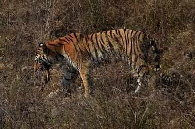
Tiger corridors in part of Central Indian landscape have largest forest cover, but..
| Date :15-Jan-2022 |

THE‘India State of Forest Report2021’ released onThursday presents an interesting assessment of forest cover in tiger corridors. It brings out that the tiger corridors in Central Indian landscape passing through parts of Vidarbha region of Maharashtra, Madhya Pradesh, and Chhattisgarh have the ‘largest forest cover’. But, in the decade between 2011 and 2021, these corridors have also recorded decline in forest cover.
The Tiger corridors occupy an area of approximately 14,289.37 sq km, which is 0.43 per cent of the country’s geographical area. As per the current assessment, the forest cover in the tiger corridors is 11,575.12 sq km, which is 1.62 per cent of the country’s total forest cover. Of the total area of tiger corridors, 2,908.54 sq km (20.36 per cent) is covered by very dense forest (V DF), 6,074.19 sq km (42.51 per cent) is under moderately dense forest (MDF), and 2,592.39 sq km (18.14 per cent) is open forest. Besides, scrub occupies total area of 52.99 sq km (0.37 per cent). As per the report, the tiger corridor in part of Central Indian landscape -- Kanha to NavegaonNagzira-Tadoba-Indravati -- has the largest forest cover of 2,012.26 sq km (86.50 per cent of the area of this tiger corridor).
Interestingly, Navegaon-Nagzira and Tadoba are in Vidarbha region. The Kanha to NavegaonNagzira-Tadoba-Indravati tiger corridor has the highest area underVDF comprising 857.65 sq km, which is 42.62 per cent of its total forest cover.This is a healthy sign. Also, the same tiger corridor has the maximum area under MDF comprising 882.87 sq km, which is 43.87 per cent of its total forest cover. Another tiger corridor PenchSatpura-Melghat has the second argest forest cover spread over 1,195.79 sq km, which is 83.21 per cent of the area of this tiger corridor. Of this corridor too, part of Pench and Melghat are in Vidarbha region of Maharashtra.
Also, the Pench-Satpura-Melghat tiger corridor has the highest area under open forest comprising 392.25 sq km, which is 32.80 per cent of its total forest cover. Despite earning the positive recognition in the latest report, these two tiger corridors in Central Indian landscape have also suffered decadal decline in forest cover. As per the report, the Kanha to Navegaon-Nagzira-Tadoba-Indravati tiger corridor has recorded decline in forest cover by 12.73 sq km (0.63 per cent), if one compares the data in the ‘India State of Forest Report’ for 2011 and 2021.
In case of this tiger corridor, the total forest cover has declined from 2,024.99 sq km in 2011 to 2,012.26 sq km. During the same decade, another tiger corridor Pench-SatpuraMelghat has suffered decline in forest cover by 19.17 sq km (1.58 per cent). The forest cover in this tiger corridor was 1,214.96 sq km in 2011.
In 2021, as per the report, the forest cover here was 1,195.79 sq km. The tiger corridors have been incorporated in the report as these corridors provide connectivity between tiger source population. “In the absence of corridors, the Tiger habitats may become isolated, making the Tigers vulnerable to inbreeding and local extinction,” states the report.